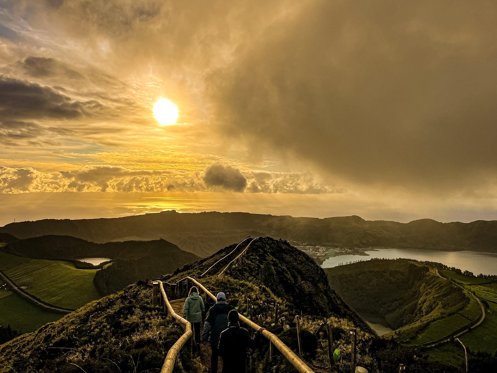
Best Hikes in the Azores
From crater rims on São Miguel to the summit of Pico and the fajãs of São Jorge and Flores, these are the best hikes in the Azores for different kinds of walker, with official distances and difficulty so you can choose the right trail.
The Azores have more than 60 marked hiking trails, graded easy, medium or hard. The routes below stand out for what you see along the way and cover a wide range of effort, from a two-hour coastal walk on Terceira to a full mountain day on Pico.
Distances and grades follow the official Azores Trails network, and trails can close temporarily. Check the current trail alerts before you set out.
How to choose the right Azores trail
Start with the grade, then look at the shape of the route. Circular trails bring you back to your car, while linear trails end somewhere else, which means arranging a taxi, a second car or a guided tour with transport. Several of the routes in this guide are linear.
Think about the ground and the sky too. Levada paths and forest trails are often muddy, stone-paved descents get slippery, and high crater walks such as Faial’s Caldeira are only worthwhile on clear days with good visibility.
- Easy and medium trails suit most walkers with good shoes
- Hard trails involve sustained climbs or rough volcanic ground
- Allow extra time for photos, mud and changeable weather
São Miguel: crater lakes and waterfalls
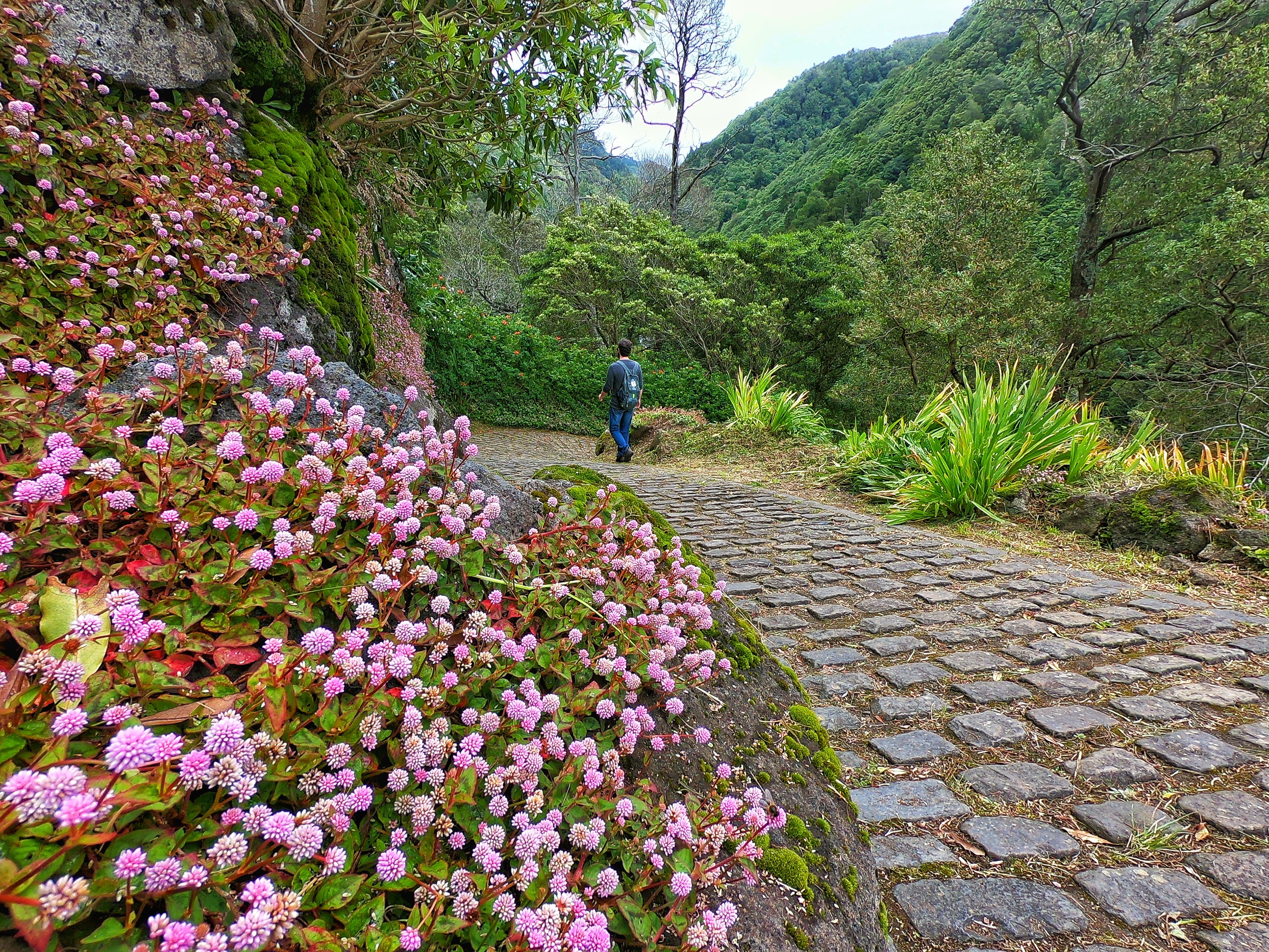
Vista do Rei to Sete Cidades is the gentlest way into the island’s crater scenery. The 7.5 km linear trail is graded easy and takes about two hours, running along the southwest slope of the crater with views into its interior and lakes. An optional detour to the Lomba do Vasco viewpoint looks over the west coast and Mosteiros. The descent toward Arrebentões is steep and slippery, so take care there and along the road section.
Praia to Lagoa do Fogo is the only certified walking route to the Lagoa do Fogo nature reserve. It is 10.2 km, graded medium and takes about four hours, following the Ribeira da Praia valley and a levada that is frequently wet and muddy. Keep your distance from nesting gulls near the lake in April and May.
Faial da Terra to Salto do Prego is a 4.6 km loop graded medium. It follows a stream past family orchards, climbs to the Salto do Prego waterfall and returns through Sanguinho, an old village of restored stone houses. The stone-paved descent to Sanguinho is steep and slippery, and walkers are asked not to pick fruit along the path.
- PR03SMI Vista do Rei – Sete Cidades: 7.5 km, easy, linear
- PR02SMI Praia – Lagoa do Fogo: 10.2 km, medium
- PRC09SMI Faial da Terra – Salto do Prego: 4.6 km, medium, circular
Official trail details: Vista do Rei – Sete Cidades · Praia – Lagoa do Fogo · Faial da Terra – Salto do Prego
Pico: the climb to Portugal’s highest point
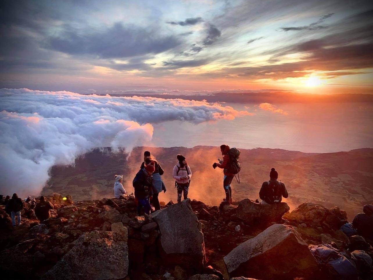
The Montanha do Pico trail is the hardest walk in this guide, a full mountain day rather than a scenic stroll. It starts and ends at the Mountain House at 1,230 metres, covers 7.6 km and reaches 2,351 metres at Piquinho, with an average of about seven hours on the move.
You need authorisation before you set off, from the Mountain House, the Pico Nature Park headquarters, the Madalena fire station or the online climb platform. Proper hiking footwear and at least 1.5 litres of water are mandatory, and no more than 320 people may climb in a day.
- Montanha do Pico: 7.6 km, hard, 1,230 m to 2,351 m
- Start and finish at the Mountain House
- Crampons are mandatory when there is snow
Official trail details: Montanha do Pico trail
São Jorge: down to Fajã da Caldeira de Santo Cristo
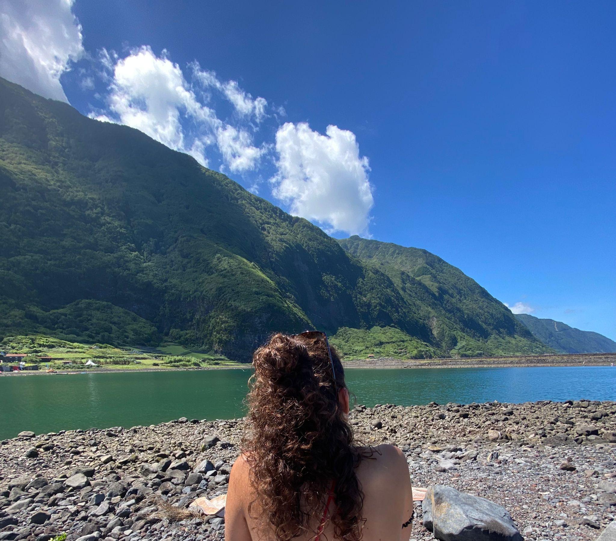
Serra do Topo to Fajã dos Cubres links São Jorge’s high plateau with the fajãs at the foot of its cliffs. The 9.3 km linear trail is graded medium and takes about two and a half hours, starting at the Serra do Topo wind farm among endemic Azorean heather and Azores juniper.
From the plateau the path drops to the lagoon of Caldeira de Santo Cristo, a protected landscape, crosses the Tia Júlia bridge and follows the coast through Fajã do Belo to Fajã dos Cubres. The ground is slippery near the Cascata Pequena detour.
- PR1SJO Serra do Topo – Caldeira de Santo Cristo – Fajã dos Cubres: 9.3 km, medium, linear
Official trail details: Serra do Topo – Fajã dos Cubres
Flores: the wild west coast
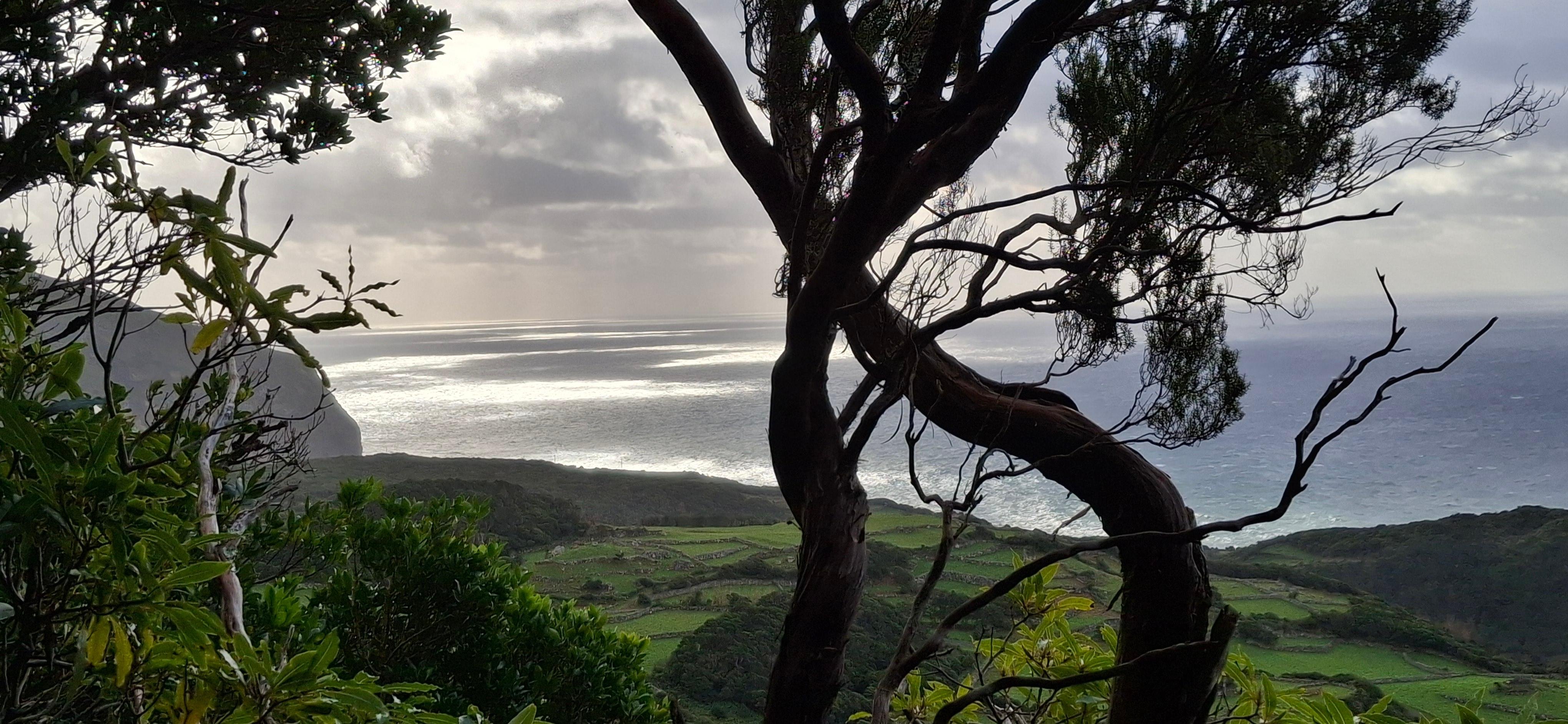
Lajedo to Fajã Grande is a 13.2 km linear trail graded medium. It runs along the island’s southwestern coast through lava fajãs and connects small villages, with scenery that is as interesting for its geology and culture as for its views.
For a harder day, Miradouro das Lagoas to Poço do Bacalhau crosses the central plateau past explosion craters that became lakes, then ends near a waterfall about 100 metres tall. The 7 km linear trail is graded hard.
- Lajedo – Fajã Grande: 13.2 km, medium, linear
- Miradouro das Lagoas – Poço do Bacalhau: 7 km, hard, linear
Official trail details: Flores trails
Terceira: sea cliffs and volcanic domes
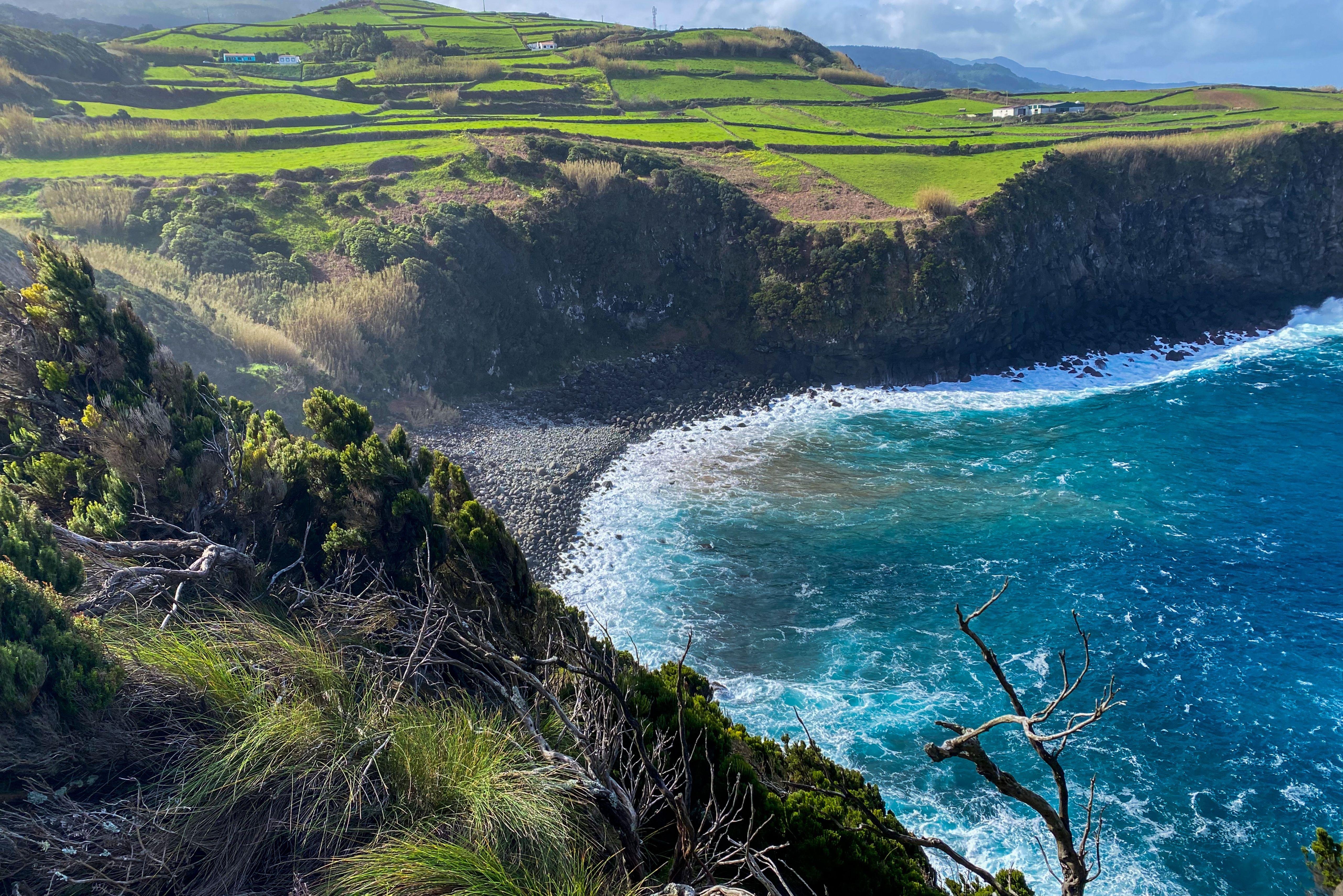
Baías da Agualva is the easy way into Terceira’s north coast. The 3.9 km linear trail takes about two hours along the coast between Agualva and Quatro Ribeiras inside Terceira Nature Park, past a pebble beach and sea cliffs with columnar rock. Look out for Cory’s shearwaters and common terns.
Mistérios Negros is graded hard. The 5.2 km loop crosses lava domes left by an eruption in 1761, passes three small lakes and looks toward Pico Gordo. The Gruta do Natal lava tunnel, 697 metres long, sits near the finish.
- PR2TER Baías da Agualva: 3.9 km, easy, linear
- PRC01TER Mistérios Negros: 5.2 km, hard, circular
Official trail details: Baías da Agualva · Mistérios Negros
Faial: around the Caldeira
The Caldeira loop circles a volcanic crater about 2 km across. The 6.8 km trail is graded easy and takes about two and a half hours, staying between 840 and 1,040 metres, with the highest point at Cabeço Gordo, 1,043 metres.
Save it for a clear day, because cloud can hide both the crater and the views over Faial’s north and west coasts, and take care on the steep descent.
- PRC04FAI Caldeira: 6.8 km, easy, circular
Official trail details: Caldeira trail
The trails at a glance
| Island | Trail | Distance | Grade | Route |
|---|---|---|---|---|
| São Miguel | Vista do Rei – Sete Cidades | 7.5 km | Easy | Linear |
| São Miguel | Praia – Lagoa do Fogo | 10.2 km | Medium | Linear |
| São Miguel | Faial da Terra – Salto do Prego | 4.6 km | Medium | Circular |
| Pico | Montanha do Pico | 7.6 km | Hard | There and back |
| São Jorge | Serra do Topo – Fajã dos Cubres | 9.3 km | Medium | Linear |
| Flores | Lajedo – Fajã Grande | 13.2 km | Medium | Linear |
| Flores | Miradouro das Lagoas – Poço do Bacalhau | 7 km | Hard | Linear |
| Terceira | Baías da Agualva | 3.9 km | Easy | Linear |
| Terceira | Mistérios Negros | 5.2 km | Hard | Circular |
| Faial | Caldeira | 6.8 km | Easy | Circular |
Planning where to stay and when to go? Read our Azores hiking trip planning guide
Sources
Walk these islands with a local guide
Guided hikes add pickup, local knowledge and a plan B when the weather turns. Compare tours on São Miguel, Pico, Terceira and São Jorge side by side.
Compare Azores hiking tours